Kattegattleden Cycling Route: Stages, Map and Where to Sleep
Europe's 2018 Cycle Route of the Year: 390 km of beaches, fishing harbours and castles from Helsingborg to Gothenburg. Stages, map, direction and where to sleep.
Quick links
Don't want to read all this?
We've planned 800+ cycling trips. Send your dates, fitness and group size — we'll map the route and book every night.


The Kattegattleden is 390 km of signed cycle path from Helsingborg to Gothenburg, and the wind decides how it feels. Ridden north with the sea on your left, it is a week of beach towns, two headlands and a string of fishing harbours; ridden into a stiff northerly, the same beaches seem to go on for ever.
It opened in 2015 as Sweden's first national cycle route, and three years later a European jury voted it Cycle Route of the Year in Europe. This guide covers the eight official stages with their distances and surfaces, the best direction, the route on a map, where to sleep and how to reach both ends.
Kattegattleden at a glance
At a glance | |
Distance | 390 km, Helsingborg Central Station to Drottningtorget in Gothenburg |
Stages | 8 official stages, 22 to 72 km each |
Terrain | Flat coast with two headlands; the hilliest stage rounds the Bjäre peninsula |
Surface | About 93 per cent asphalt, the gravel mostly on Bjäre and around Laholm |
Signs | Red signs with the number 1, both ways; EuroVelo 12 shares the line from Halmstad north |
Season | Open 15 April to 15 October; most hotels and beach cafés from about mid-May |
Connects to | Sydkustleden at Helsingborg, 260 km on to Simrishamn |
History of the route
Ten coastal municipalities, Region Halland, Region Skåne and the Swedish Transport Administration spent ten years putting the route together, linking old railway lines, beach promenades and farm roads into one signed line. It was the first route in Sweden classed as a national tourist cycle route, which is why every sign carries the number 1.
The opening on 6 June 2015, Sweden's National Day, was staged as a relay. One baton rode north from Helsingborg, the other south from Gothenburg, and they met in the castle park in Halmstad, where the heads of Visit Sweden and the hospitality association Visita locked two gilded bike locks together.
In March 2018 the jury at the Fiets en Wandelbeurs, the big cycling and walking fair in Utrecht, named it Cycle Route of the Year in Europe, after judging the food, beds, safety and views. EuroVelo, the European cycle route network, still records the title on its page for the North Sea Cycle Route, which shares the Kattegattleden from Gothenburg to Halmstad. Seven years later Sweden's Göta Canal route took the same prize.
The eight stages
The route organisation splits the Kattegattleden into eight stages, and every one ends in a town with hotels; all but Höganäs have a railway station too. These are the route organisation's official distances. Your GPS will read a little more if you ride out to a lighthouse or down to a harbour.
Stage | From and to | Distance |
1 | Helsingborg to Höganäs | 22 km |
2 | Höganäs to Ängelholm | 39 km |
3 | Ängelholm to Båstad | 55 km |
4 | Båstad to Halmstad via Laholm | 42 km |
5 | Halmstad to Falkenberg | 57 km |
6 | Falkenberg to Varberg | 39 km |
7 | Varberg to Kungsbacka | 72 km |
8 | Kungsbacka to Gothenburg | 64 km |
Stages 1 to 3: the Skåne peninsulas
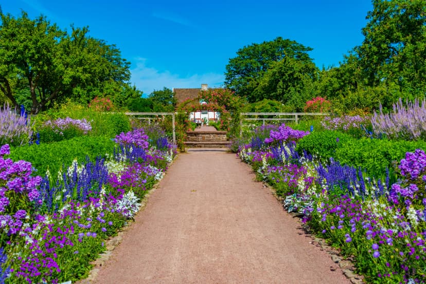
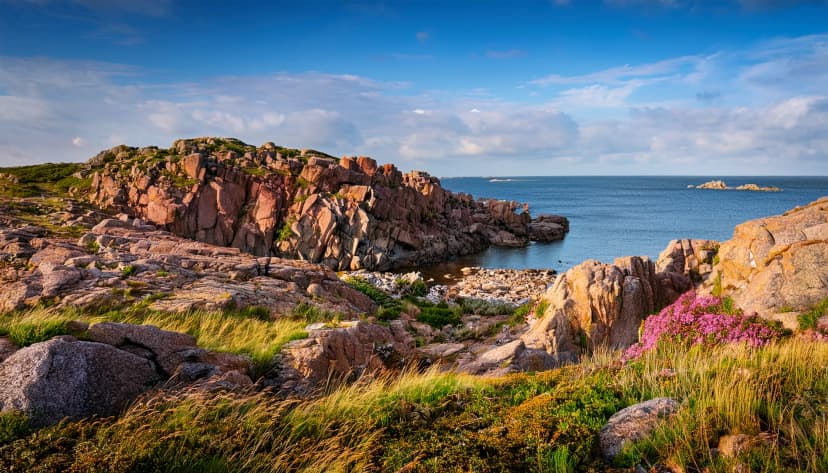
A short first day: 22 km from the information board outside Helsingborg Central to Höganäs harbour, past the royal gardens at Sofiero and the bathing beaches of Domsten and Viken. Stage 2 crosses the Kullaberg peninsula to Arild, open fields one moment and steep wooded ground with sea views the next, and the lighthouse at the tip is a detour off the signed line worth every extra kilometre.
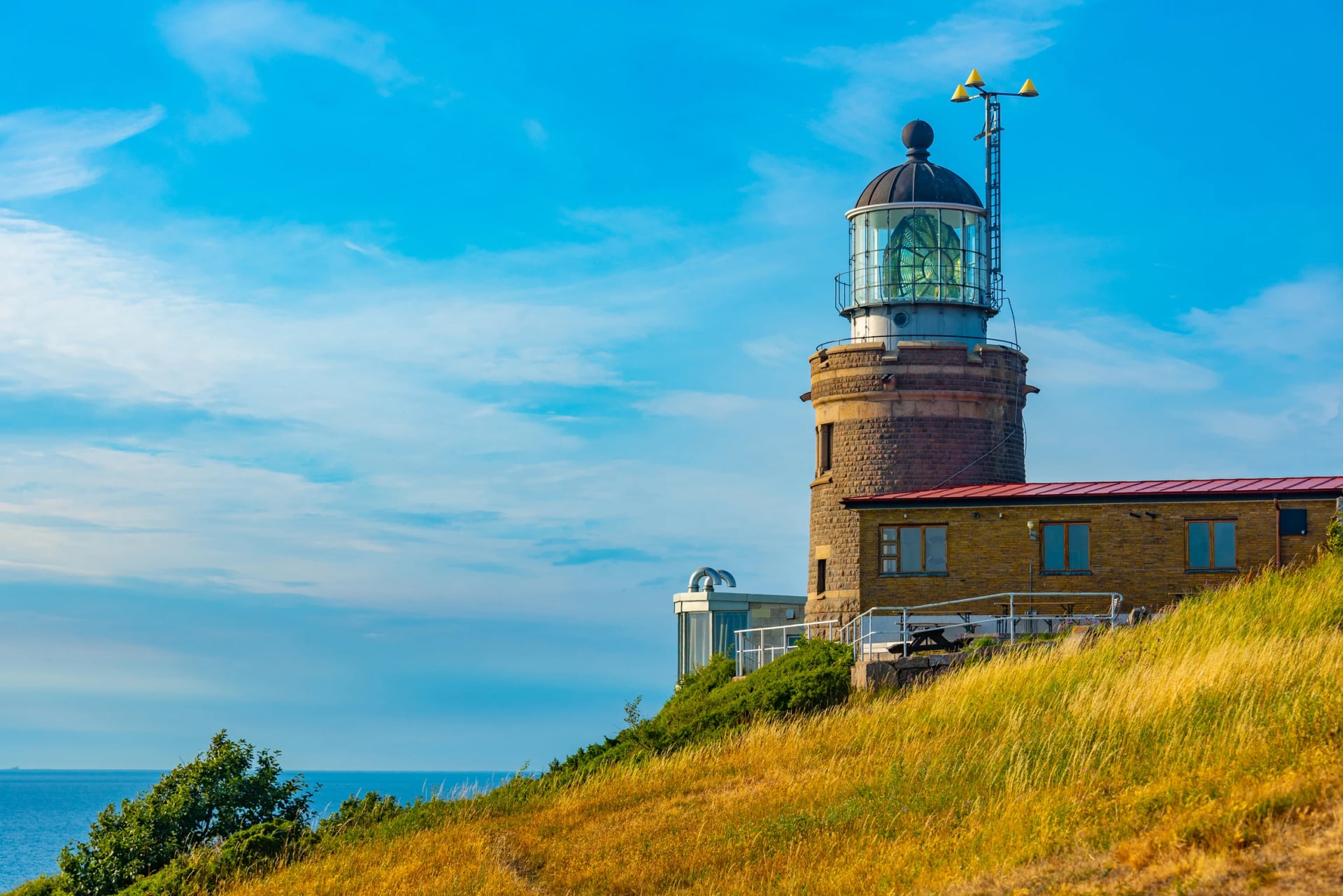
Stage 3 is officially the hilliest and carries 14 per cent gravel. It loops the Bjäre peninsula through Torekov, where boats leave for the island of Hallands Väderö, and drops into Båstad past the Norrviken gardens. Båstad is Sweden's tennis town, so check the tournament dates in July before you book a bed there.
Stages 4 to 6: Halland's beaches
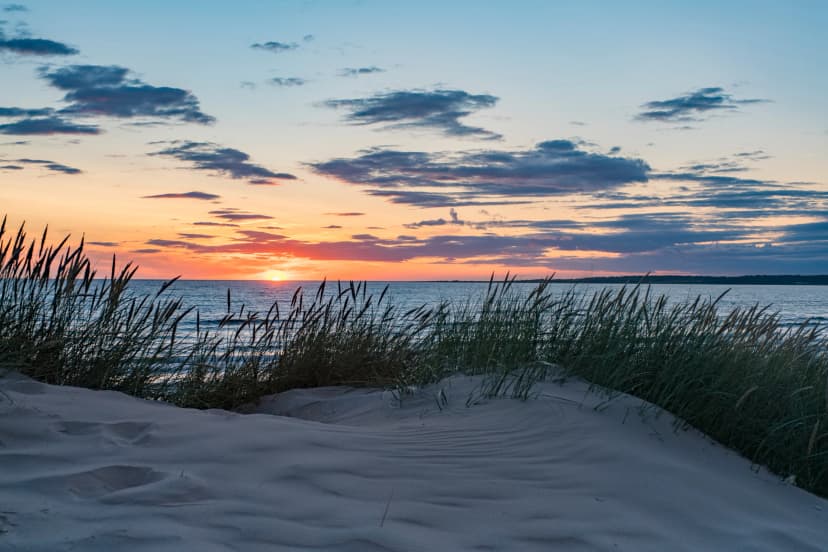
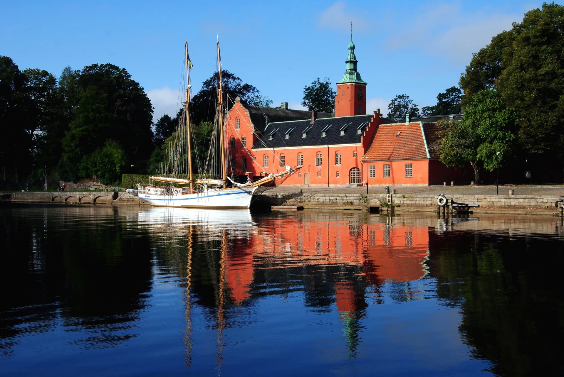
Stage 4 is where the sand starts. Skummeslövsstrand and Mellbystrand run together along Laholm Bay, Sweden's longest sandy beach, before the route passes the Iron Age graves at Påarp and reaches Halmstad castle. It is only 42 km, but nearly a third of it is gravel, the most of any stage.
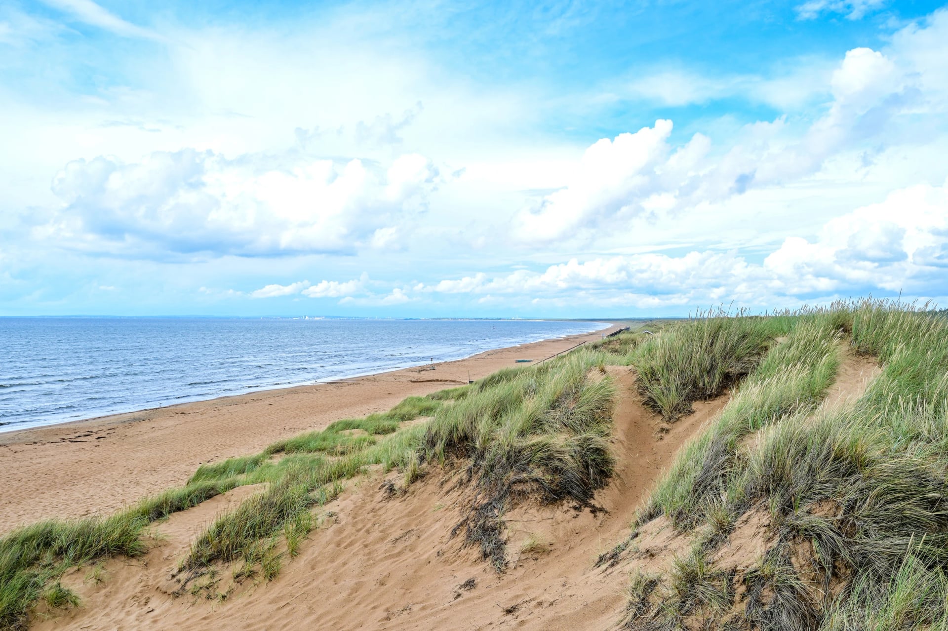
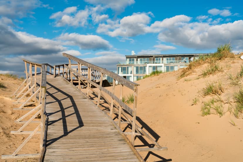
Stage 5 strings the beaches together: Tylösand, Frösakull, Ringenäs, Vilshärad, then the windmill café at Särdal and a finish at Skrea Strand's long bathing jetty in Falkenberg. Stage 6 is the gentle one, 39 km past the fishing harbours of Glommen and Träslövsläge and the surf beach at Apelviken into Varberg, usually by lunch. Halmstad, Falkenberg and Varberg all have stations on the west coast line, so any of them can start or end a shorter ride.
Stages 7 and 8: into Gothenburg
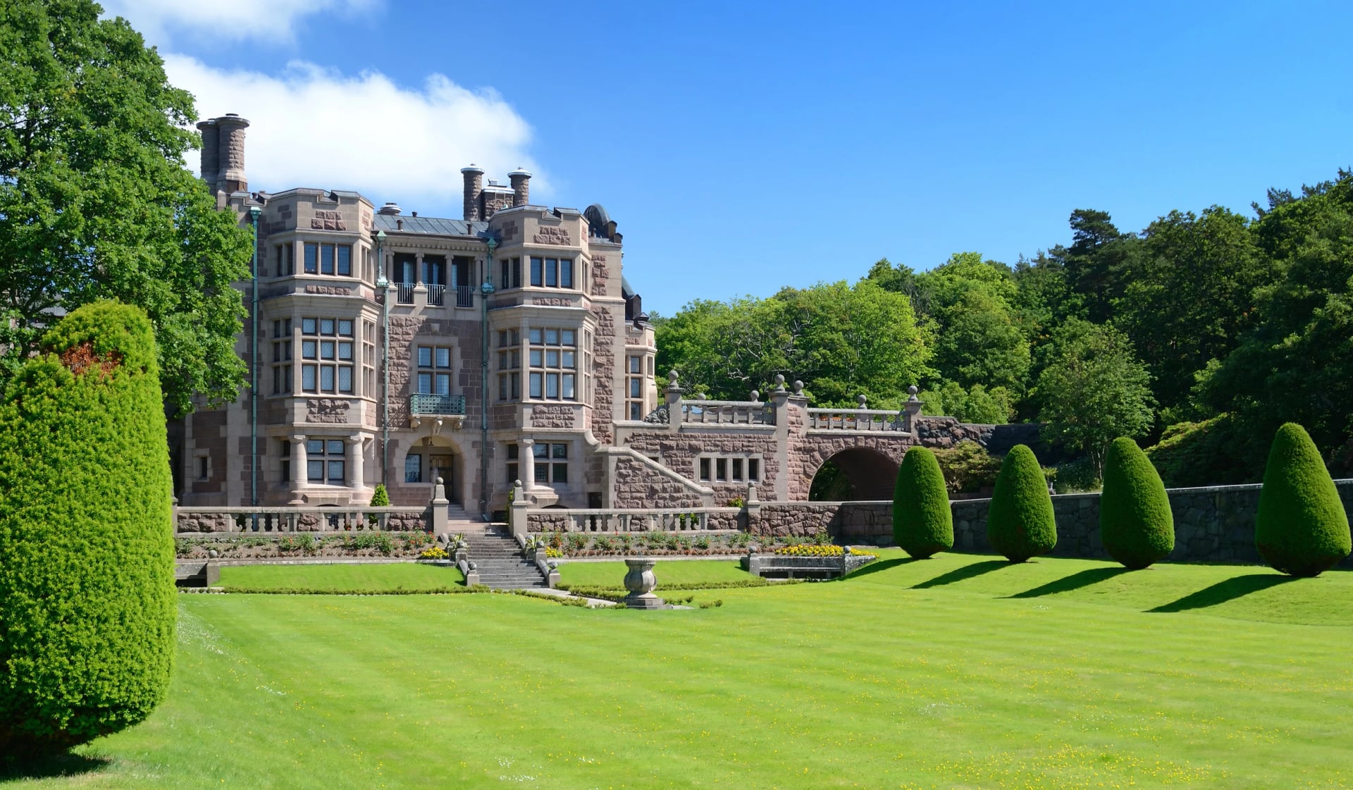
At 72 km, stage 7 is the longest, and the coast turns from sand to granite. Islands appear off Getterön and Balgö, the route dips to the fishing harbour at Bua, and north of Frillesås it runs car-free on an old railway embankment. The detour before Kungsbacka is Tjolöholm, Sweden's only Tudor-style castle.
Stage 8 saves some of the best for last: the diving tower at Gottskär, the old bathing resort of Särö, the Särö railway line along the shore and a final run past Röda Sten and Trädgårdsföreningen to Drottningtorget, outside Gothenburg Central.
What you'll see on the way
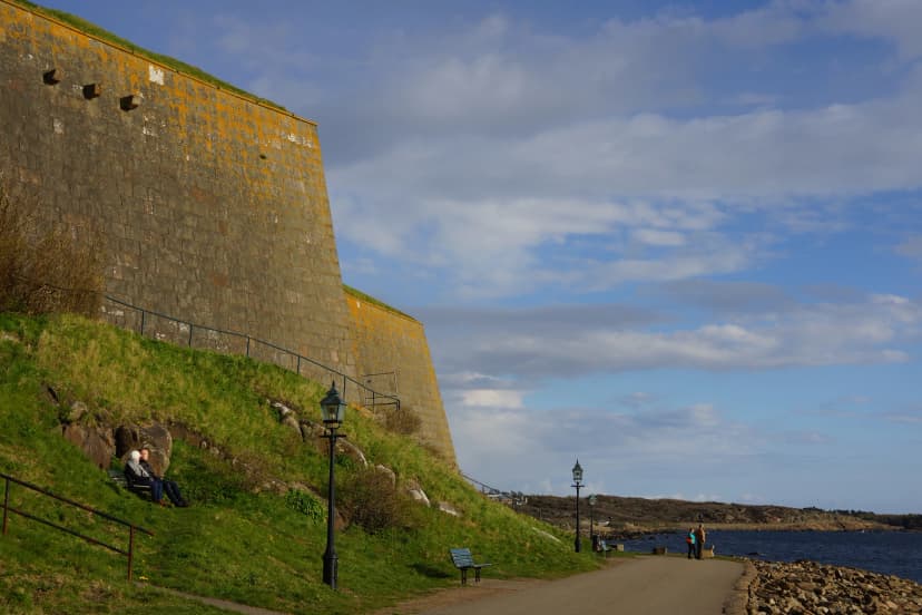
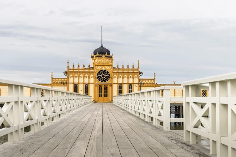
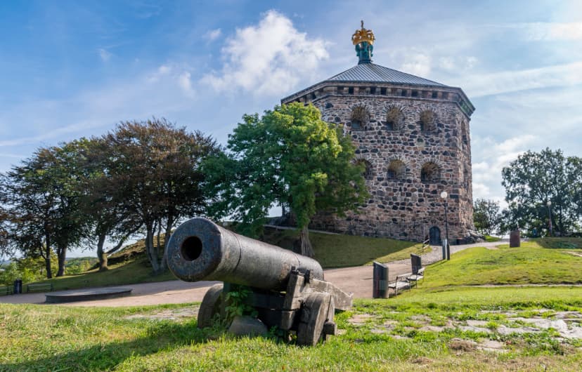
Ask riders what they remember and the answer is rarely a distance. It is six places worth stopping for: the royal gardens of Sofiero above Helsingborg, the cliffs of Kullaberg, the long beach at Tylösand, Varberg's medieval fortress and its bathhouse on stilts, and the wooden houses of Haga at the finish in Gothenburg.
Our self-guided tour plans each day with time to stop at all six:
Which direction?
South to north. The route organisation puts it carefully, since the line is signed both ways, but it has found the tailwind a little more likely heading for Gothenburg: the weather on this coast comes in mostly from the west and south-west. A northerly still turns an open beach into hard work, so look at the forecast before you set off each morning.
Riding north also makes the way home easy. Öresundståg trains run back down the coast from Gothenburg to Helsingborg in a little over two hours, calling at Kungsbacka, Varberg, Falkenberg, Halmstad and Båstad, so every stage town is one train from the start.
How many days?
About a week. The route organisation plans for 30 to 70 km a day, and at an everyday 15 to 20 km an hour a 50 km stage is about three hours in the saddle, which leaves the afternoon for the beach. Strong riders join stages and finish in five; families riding 30 to 40 km a day take ten, and an e-bike takes the sting out of a headwind.
Our own Kattegattleden Bike Tour fits the coast into six riding days of 37 to 74 km, with the short day to Varberg placed mid-week as the easy one.
Surface, traffic and signs
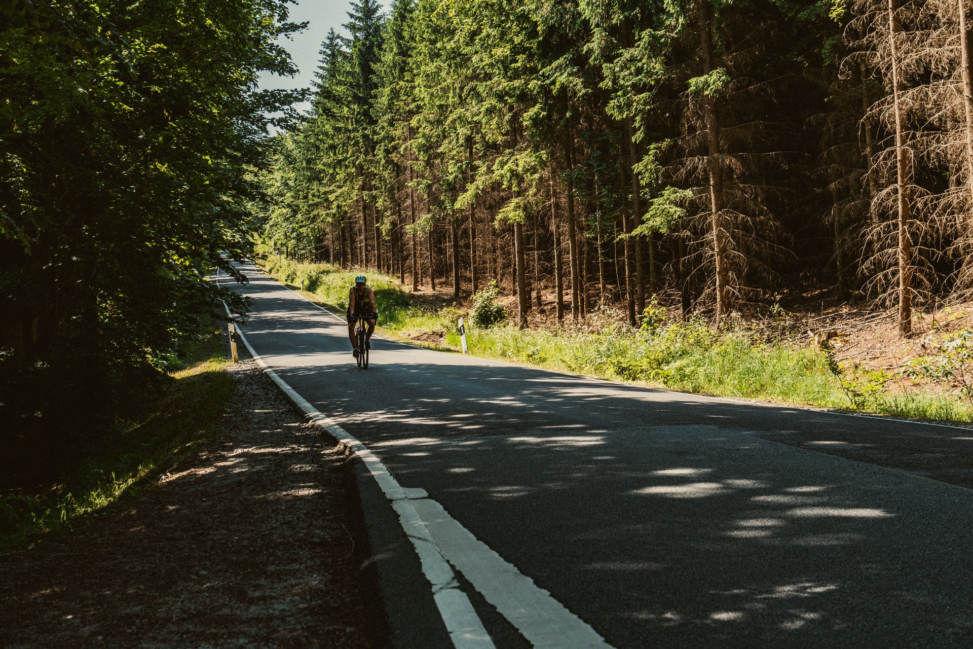
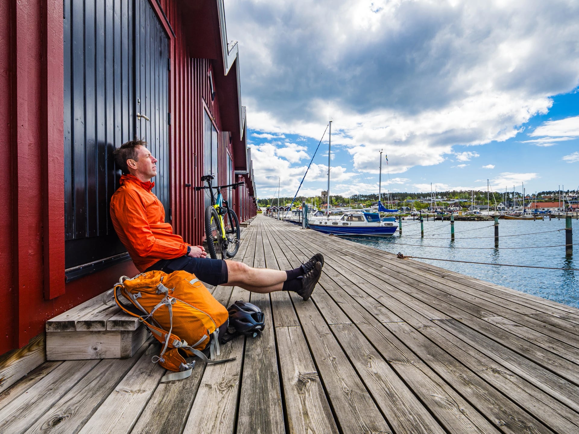
Add up the official stage figures and the route is 93 per cent asphalt: about 27 km of gravel in 390, most of it on Bjäre and in the beach forests around Laholm. A trekking, hybrid or gravel bike handles every metre of it; narrow road tyres do not enjoy the forest tracks.
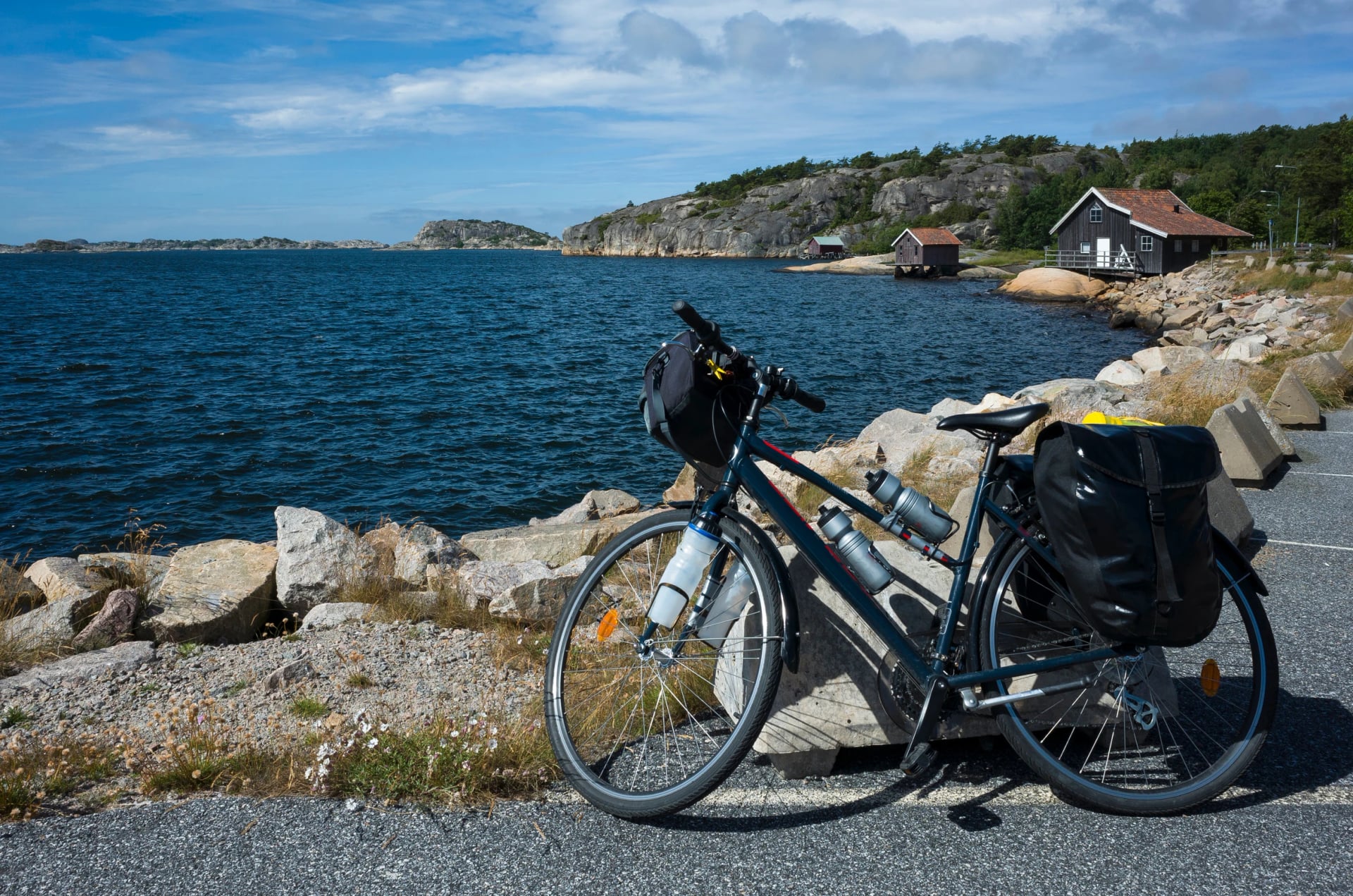
Traffic stays light because the line was drawn to avoid it, along separate cycle paths, old railway beds and farm roads. National routes may share quiet roads with cars, and this one does through a few villages such as Frillesås. The signs are red with a white number 1, at every junction where the way is not obvious. They are hardest to spot in town centres, which is exactly where a GPS track earns its keep.
The route on the map
The map below shows the line our riders follow, split into six days, with every night's town marked. The same route sits in our navigation app, turn by turn, together with your hotels and the sights along the way, so you never need a paper map or a file of your own. On the road, the red number 1 signs back it up at the junctions.
See it on the map: plan your days around the six towns on the line, one night in each on our tour.
Where to sleep
Every stage town has hotels, and between them the coast fills in with guesthouses, B&Bs and old seaside pensionat. Rooms are few, and the Swedish summer holidays run from mid-June to mid-August, so book June to August early.
Cyclists are easy guests to host here. West Sweden's tourist board tells hosts to start with a locked room for the bikes, and places that call themselves cycle-friendly often add a pump, simple tools, a hose to rinse the bike, somewhere to dry your kit and a socket for e-bike batteries.
On our tour you'll sleep in all three, so here is what to expect from each:
Town by town:
Helsingborg: city hotels around the station and the harbour, just over an hour by train from Copenhagen Airport.
Höganäs and Mölle: a handful of hotels and guesthouses; Mölle's old seaside hotels sit right under Kullaberg.
Ängelholm: hotels in town and by the beach forest.
Båstad: resort hotels, pensions and B&Bs, booked out a year ahead for tennis week in July.
Halmstad: hotels in the centre and at Tylösand, where the beach hotel is the famous one.
Falkenberg: beach hotels at Skrea Strand, south of the river; the old town is across Tullbron.
Varberg: hotels on the headland by the fortress, and a hostel inside the fortress itself.
Kungsbacka: a couple of hotels in the centre, with Gottskär and Åsa on the coast as alternatives.
Gothenburg: a full city's choice; the hotels around Drottningtorget are at the finish and the station.
On our tours we book from a vetted list in each town and send you the names with your confirmation, and your bags move on ahead every day.
Riding it with us
Our self-guided tour covers the route in six stages, with arrival in Helsingborg the evening before and the train or a flight home from Gothenburg on the eighth day:
Day | Stage | Distance |
2 | Helsingborg to Ängelholm, round Kullaberg | 74 km |
3 | Ängelholm to Halmstad via Båstad | 70 km |
4 | Halmstad to Falkenberg | 55 km |
5 | Falkenberg to Varberg | 40 km |
6 | Varberg to Kungsbacka | 59 km |
7 | Kungsbacka to Gothenburg | 37 km |
That is 334 km against the official 390. The line keeps to the signed route along the beaches and through every stage town, skips the loops round Torekov and the Onsala peninsula, and adds the ride out to Kullen lighthouse, the most powerful light in Scandinavia. Hotels, luggage transfer, the route in the app and a support line come with it, and the bike is waiting at your hotel in Helsingborg and collected in Gothenburg.
If you would rather ride it than plan it, our cycling guides recommend starting with the six-stage tour below.
Getting there and back
The Kattegattleden starts in Helsingborg and ends in Gothenburg, so you arrive at one end and leave from the other. The simplest plan is into Copenhagen, home from Gothenburg.
Flying in and out
Copenhagen Airport is the nearest big airport to the start, and Gothenburg's Landvetter airport is half an hour from the finish. Book them as one open-jaw ticket and you never ride or travel back the way you came; Skyscanner compares both. Bringing your own bike? Check your airline's rules and book its place before you fly.
Journey | How | Time |
Copenhagen Airport to Helsingborg | Öresundståg train, direct | about 1 h 10 |
Copenhagen city to Helsingborg | Train to Helsingør, then the ferry | 20 min crossing |
Gothenburg to Landvetter Airport | Airport coach | about 30 min |
Gothenburg to Copenhagen Airport | Öresundståg train, direct | about 3 h 15 |
Train tickets and the border
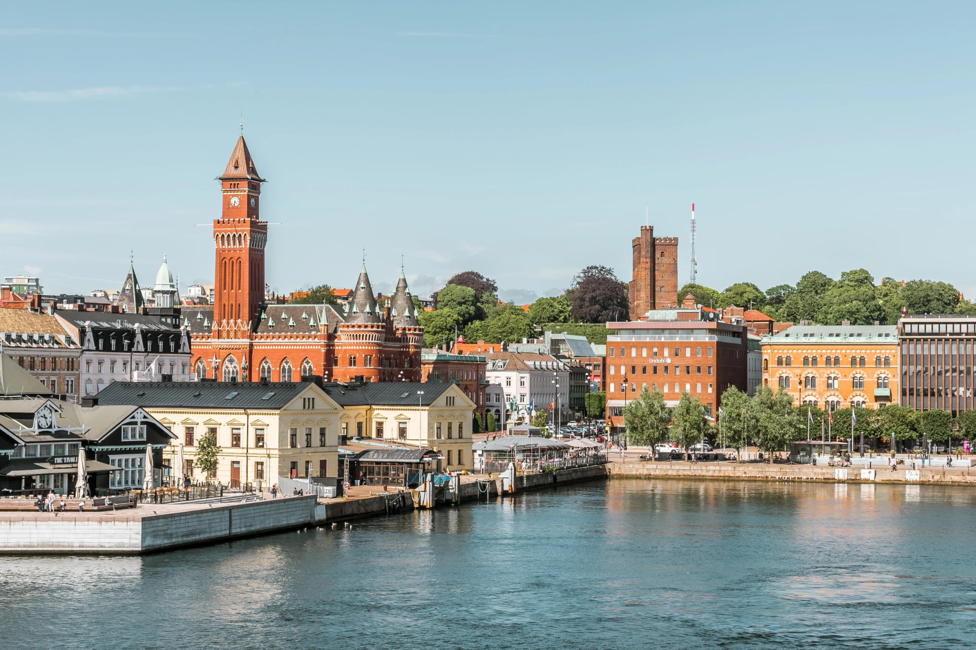
Buy your Öresundståg ticket online or in its app before you board, because no tickets are sold on the train. Trains from Copenhagen stop at Hyllie, the first station in Sweden, for an ID check, so keep your passport to hand. The ferry is the slower, prettier way in: Kronborg Castle on one side, Helsingborg's harbour front on the other.
Private transfers
We arrange private transfers for any group size, from two riders to a cycling club: from Copenhagen Airport to your first hotel in Helsingborg, and from your last hotel in Gothenburg back to the airport. It is the easy option if you land late, travel with children or simply don't want to think about tickets.
Where next: the Sydkustleden
The Kattegattleden ends, or begins, outside Helsingborg Central, and the Sydkustleden starts at the same spot: national route number 3, 260 km in six sections round Sweden's south coast to Simrishamn, past Malmö, the beaches of Skanör and Falsterbo, Smygehuk, the country's southernmost point, and the apple orchards of Österlen. Riders with a fortnight link the two; our Sydkustleden Bike Tour rides it the other way and finishes where the Kattegattleden begins.
Plan your Kattegattleden trip with us
Eight stages, two directions and a coast of small hotels that fill up in July: the planning is the hard part, not the cycling. Tell us your dates and how far you like to ride, and we'll set the stages, book the beds and have the bikes waiting in Helsingborg. Or book a free video call and talk it through with one of our cycling experts.
Frequently Asked Questions

Plan with a cycling expert
Free advice from a team that knows these routes inside out - real people, not a bot

Hassle-Free
We handle itineraries, accommodations, and anything else you prefer not to deal with, so you can enjoy a carefree holiday.

Tried & Tested Adventures
Our cycling routes are hand-picked & tested, to ensure breathtaking landscapes, smooth roads, and maximum safety - giving you the perfect ride every day.

Unbeatable Support
Our 24/7 customer support is where we show our passion, ensuring your cycling holiday runs smoothly and your well-being is always our top priority.

Book with Confidence
We are a financially protected company, fully bonded and insured, keeping your money safe and allowing you to travel with confidence.